Aeroscn specializes in drone-based aerial inspections, surveying and modeling of assets using high-resolution imagery, AI-powered analytics, and laser scanning to provide you with reliable and actionable data.
SERVICES

Survey / Mapping
- Orthomosaics
- 3D Point Cloud
- DSM / DTM
- Volumetrics
3d Modeling

3d Modeling

Inspections
- Thermal Inspection
- Fault Inspection
- Vegetation Management
- Environmental Assessment
- Leak Detection and Repair (LDAR)
LiDAR Survey

LiDAR Survey

Aerial Video / Photo

SEARCH & RESCUE
SEARCH & RESCUE
UAS / DRONE FLEET
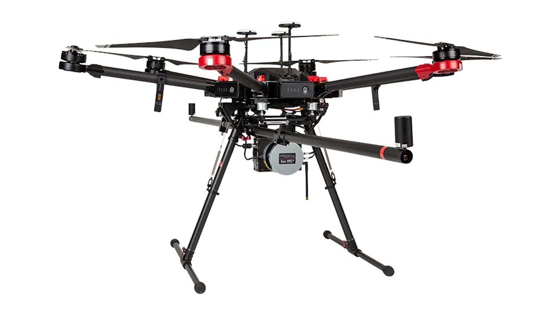
M600 Geo-MMS VLP-16 LiDAR

DJI PHANTOM 4 RTK
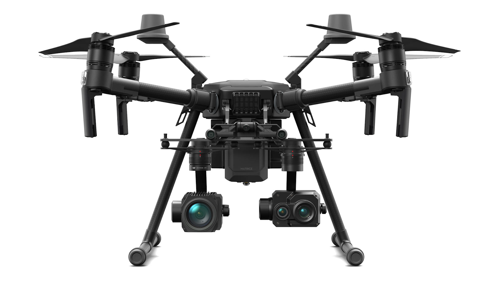
Matrice 210 RTK-G
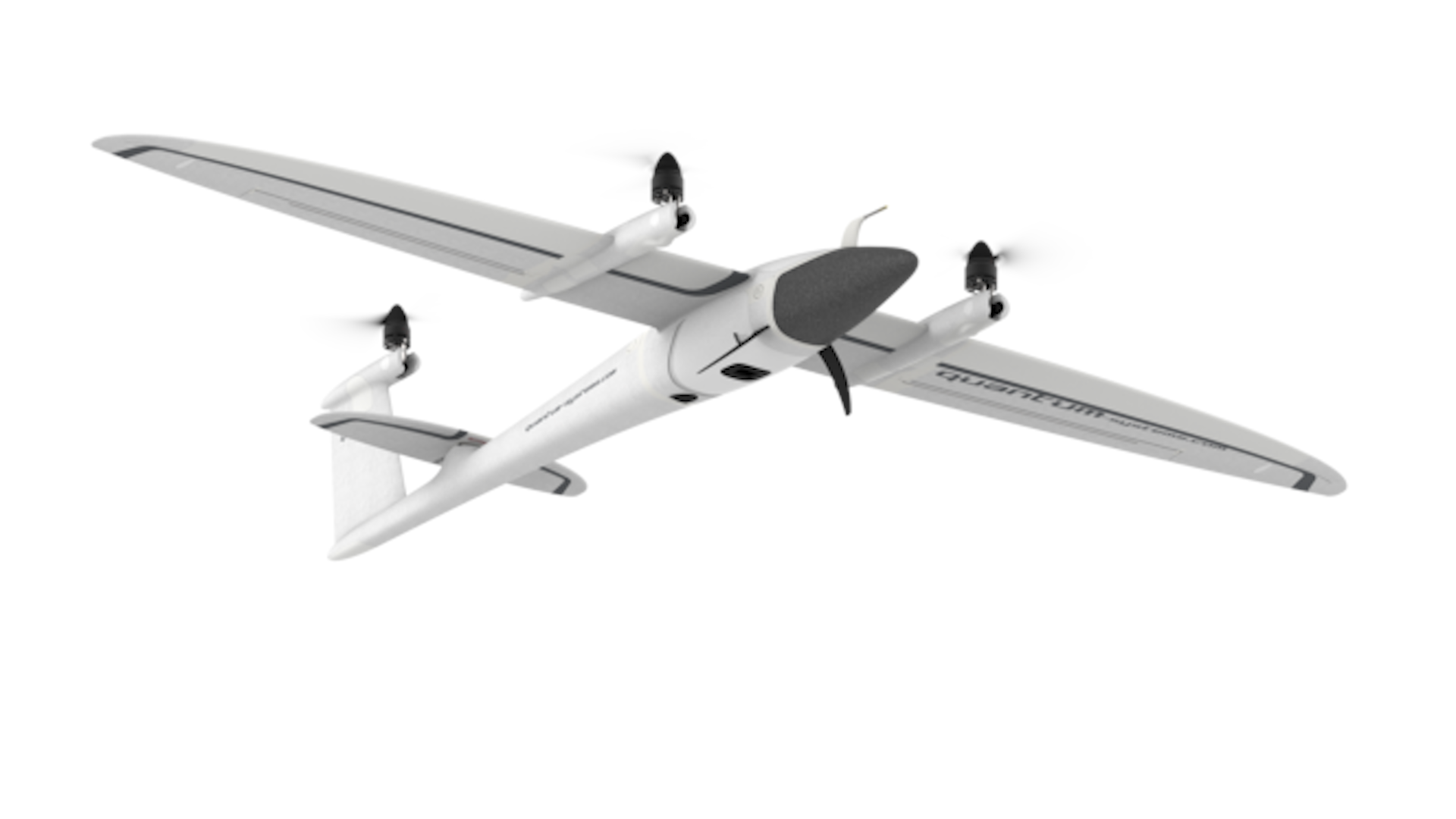
Trinity F90+ VTOL Fixed Wing
Our Team

Stephen Kristoff
Managing Director
Stephen is an experienced business leader, project director and FAA licensed Remote Pilot with more than 7 years of unmanned aerial imaging experience across the United States. He is responsible for overseeing aerial platforms including field operations, data capture and analytics across varying industries, enabling clients to safely reduce their costs while improving production and productivity of their operations.
TIM Davies
Project Engineer / Flight Operations

NAthan Mangsen
Surveyor / Photogrammetrist
Nathan is a specialist surveyor with expertise in UAV drones, photogrammetry and LiDAR data processing. Nathan has world leading capabilities in the nexus between remote sensing and volume computations, contours, and geo-referencing aerial photos. Nathan is responsible for all in-house data deliverables to our clients and concentrates on data processing and workflow development.
get in touch!
Have A Question?
Contact
Phone
+(1) 916 370 2951
aeroscn@dovosmedia.com
Location
Folsom, California